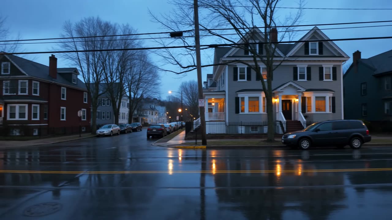
Parcel 231-37
9 Wyman Rd
West Cambridge
- Lot area
- 7,089 sq ft assessor · 7,245 sq ft GIS-computedDisputed
Source
Two or more material claims remain unresolved. Every supported value stays visible.
Claims:- 7,089 sq ft Assessor record · City of Cambridge · Parcel 231-37
- 7,245 sq ft Parcel geometry · City of Cambridge · Parcel 231-37, computed from the City parcel index
- Lot dimensions
- 93.6 × 97.1 ftFact
Source
Direct from an identified authoritative or primary source.
Parcel geometry · City of Cambridge · Parcel 231-37, computed from the City parcel index
- Built
- 1929Fact
Source
Direct from an identified authoritative or primary source.
Assessor record · City of Cambridge · Parcel 231-37
No unit count can be derived here
Res C-1 sets no minimum lot area (§5.21.1) and no floor area ratio for residential gross floor area (§5.25.4). With neither rule in play, the dimensional standards do not determine how many homes this lot could hold, and no unit count appears anywhere on this record. Any figure you see elsewhere is an assumption about unit size, not a rule.
Res A-2
In force until 10 February 2025, when Ord 2025-1 superseded it.
- Maximum height
- 35 ftFact
Source
Direct from an identified authoritative or primary source.
Zoning Ordinance · City of Cambridge · Res A-2 dimensional standards, superseded 10 February 2025
- Stories
- 3Fact
Source
Direct from an identified authoritative or primary source.
Zoning Ordinance · City of Cambridge · Res A-2 dimensional standards, superseded 10 February 2025
- Floor area ratio
- 0.5Fact
Source
Direct from an identified authoritative or primary source.
Zoning Ordinance · City of Cambridge · Res A-2 dimensional standards, superseded 10 February 2025
- Minimum open space
- 50% of lot areaFact
Source
Direct from an identified authoritative or primary source.
Zoning Ordinance · City of Cambridge · Res A-2 dimensional standards, superseded 10 February 2025
- Buildable footprint
- 3,544 sq ft — set by open space, not setbacksCalculated
Source
The formula uses identified inputs and the method is reproducible.
Method: Computed on the City's own parcel boundary for 231-37 (ArcGIS OwnerParcel_Outline_2K, retrieved 2026-08-18), reprojected to EPSG:26986 where it measures 7,245 sq ft. Inset uniformly by 10 ft — the SMALLEST Res A-2 setback, so the result is the largest envelope those setbacks could possibly permit — gives 4,151 sq ft. The 50% open-space rule caps coverage at 3,544 sq ft of the 7,089 sq ft assessor lot. Because the cap is smaller than even the most generous setback envelope, open space is the binding constraint and 3,544 sq ft is the buildable footprint.
- Use
- Single-family, two-family limitedFact
Source
Direct from an identified authoritative or primary source.
Zoning Ordinance · City of Cambridge · Res A-2 dimensional standards, superseded 10 February 2025
Res C-1
In force since 10 February 2025 under Ord 2025-1.
- Maximum height
- 45 ftFact
Source
Direct from an identified authoritative or primary source.
Zoning Ordinance · City of Cambridge · Ordinance 2025-1, in force 10 February 2025
- Floor area ratio
- Does not apply to residential gross floor areaFact
Source
Direct from an identified authoritative or primary source.
Zoning Ordinance · City of Cambridge · §5.25.4 · Ordinance 2025-1, in force 10 February 2025
- Minimum lot area
- NoneFact
Source
Direct from an identified authoritative or primary source.
Zoning Ordinance · City of Cambridge · §5.21.1 · Ordinance 2025-1, in force 10 February 2025
- Minimum open space
- 30% of lot area, at least half permeableFact
Source
Direct from an identified authoritative or primary source.
Zoning Ordinance · City of Cambridge · Ordinance 2025-1, in force 10 February 2025
- Buildable footprint
- 4,962 sq ft — set by open space, not setbacksCalculated
Source
The formula uses identified inputs and the method is reproducible.
Method: Computed on the same City parcel boundary, inset uniformly by 5 ft — the smallest C-1 setback, so again an upper bound — giving 5,596 sq ft. The 30% open-space rule caps coverage at 4,962 sq ft of the 7,089 sq ft assessor lot. The cap is again the smaller, so open space binds and 4,962 sq ft is the buildable footprint.
Res C-1
What the current district permits on this lot. Nothing has been filed.
- Stories by right
- 4Fact
Source
Direct from an identified authoritative or primary source.
Zoning Ordinance · City of Cambridge · Ordinance 2025-1, in force 10 February 2025
- With 20% inclusionary
- 6 stories · 74 ftFact
Source
Direct from an identified authoritative or primary source.
Zoning Ordinance · City of Cambridge · Ordinance 2025-1, in force 10 February 2025
- Open space required
- 3,544 → 2,127 sq ft, a fall of 1,417Calculated
Source
The formula uses identified inputs and the method is reproducible.
Method: 50% of the 7,089 sq ft assessor lot area under Res A-2 against 30% of the same area under Res C-1. Uses the assessor figure, not the 7,245 sq ft GIS-computed one; the two have not been reconciled.
Zoning Ordinance · City of Cambridge · Ordinance 2025-1, in force 10 February 2025
- Homes proposed
- None on fileMissing
Source
An expected field is unavailable. The attempted source and last check are shown.
Looked for: City of Cambridge development log
- Buildable footprint
- 3,544 → 4,962 sq ft, a rise of 1,418Calculated
Source
The formula uses identified inputs and the method is reproducible.
Method: Computed on the City's own parcel boundary for 231-37 (ArcGIS OwnerParcel_Outline_2K, retrieved 2026-08-18), reprojected to EPSG:26986 where it measures 7,245 sq ft. Inset uniformly by 10 ft — the SMALLEST Res A-2 setback, so the result is the largest envelope those setbacks could possibly permit — gives 4,151 sq ft. The 50% open-space rule caps coverage at 3,544 sq ft of the 7,089 sq ft assessor lot. Because the cap is smaller than even the most generous setback envelope, open space is the binding constraint and 3,544 sq ft is the buildable footprint. Against C-1: Computed on the same City parcel boundary, inset uniformly by 5 ft — the smallest C-1 setback, so again an upper bound — giving 5,596 sq ft. The 30% open-space rule caps coverage at 4,962 sq ft of the 7,089 sq ft assessor lot. The cap is again the smaller, so open space binds and 4,962 sq ft is the buildable footprint.